
Originally posted August 13, 2026
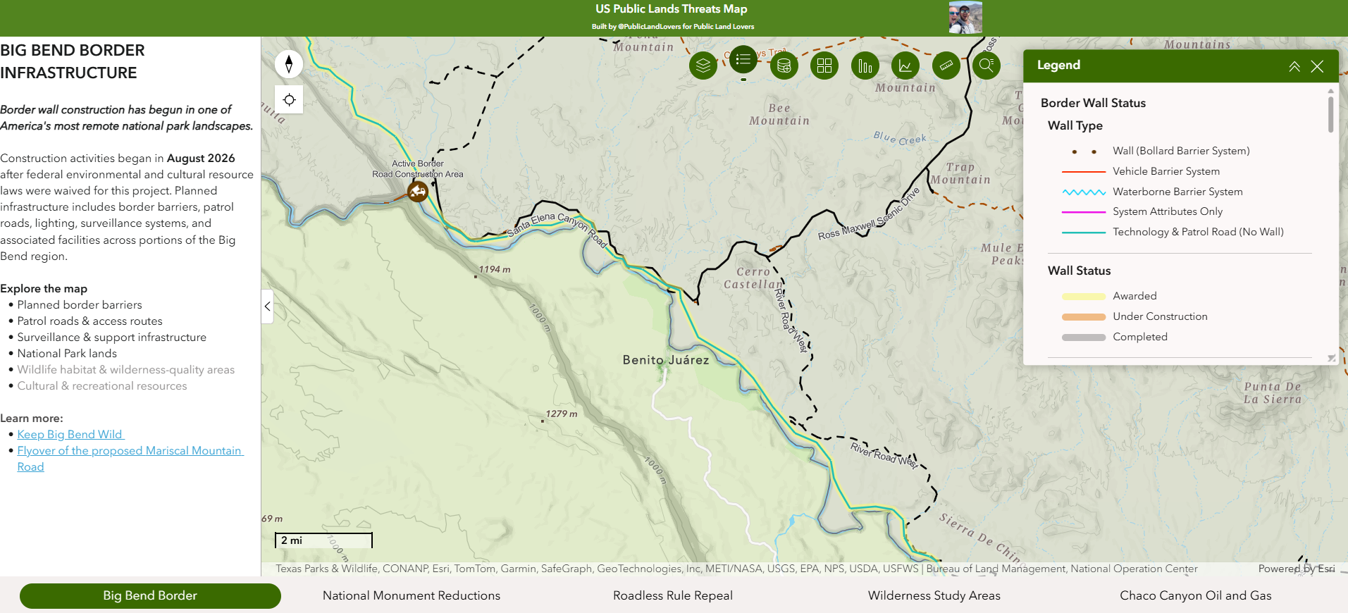
Border wall construction has begun in one of America’s most remote national park landscapes.
Construction activities began in August 2026 after federal environmental and cultural resource laws were waived for this project. Planned infrastructure includes border barriers, patrol roads, lighting, surveillance systems, and associated facilities across portions of the Big Bend region.
Explore the map
- Planned border barriers
- Patrol roads & access routes
- Surveillance & support infrastructure
- National Park lands
- Wildlife habitat & wilderness-quality areas
- Cultural & recreational resources
View the BIG BEND BORDER INFRASTRUCTURE ARCGIS map here.
Comments are closed