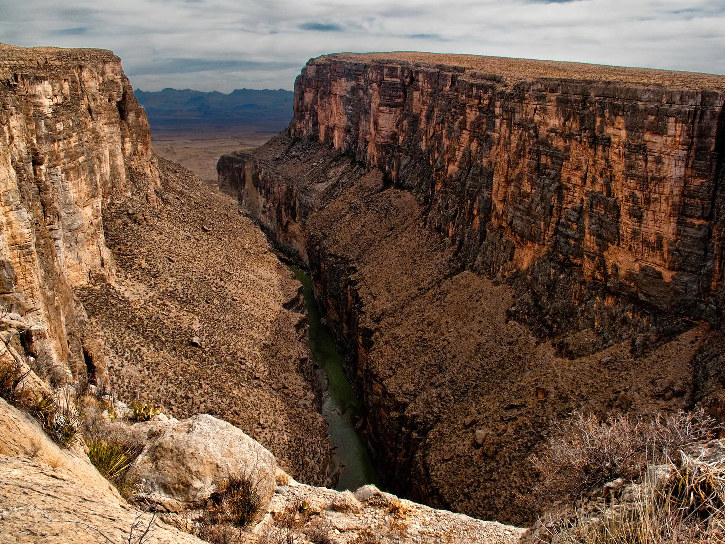
In a map update posted last month to U.S. Custom and Border Protection’s website, the agency charted a major expansion of the border wall. It included terrain belonging to one of America’s most iconic wild areas, Big Bend National Park, an 800,000-acre desert landscape that includes the entire Chisos mountain range and more than 100 miles of the Rio Grande.
A few steeply cliffed sections, including the famed Santa Elena Canyon, were marked “detection technology.” The rest of the park’s southern border, which touches Mexico, was designated “primary wall border system.”
Comments are closed